
ORLANDO, Fla. — The tropics remain active this weekend, as we’re monitoring two different systems in the Atlantic basin.
The first area is the remnants of Tropical Storm Dolly, now nearing the northern Lesser Antilles.

While the system has shown steady thunderstorm activity, it lacks a closed circulation and will remain a tropical wave this weekend.
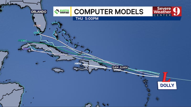
As it moves northwestward, it could organize further next week as it taps into the warm waters near the Turks and Caicos and the Bahamas.
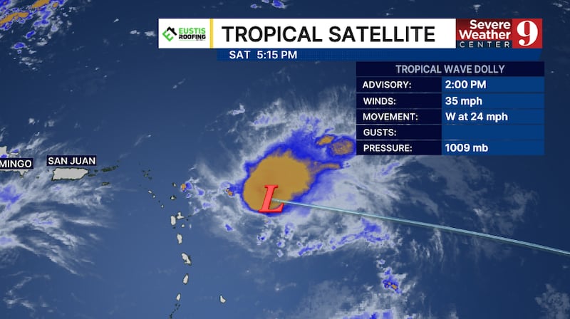
This has only a 10% chance of development, but it will need to be monitored due to its location and northward movement.
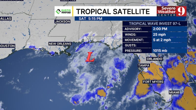
The second area is a low-pressure area in the northern Gulf.
The area, known as Invest 97L, could slowly organize as it moves westward over the next several days,
Invest 97L has a 20% chance of development.
We remain in the peak of hurricane season, with the statistical peak arriving on September 10.
Stay with Severe Weather Center 9 for the latest on the tropics all season long.

Click here to download our free news, weather and smart TV apps. And click here to stream Channel 9 Eyewitness News live.

©2026 Cox Media Group