
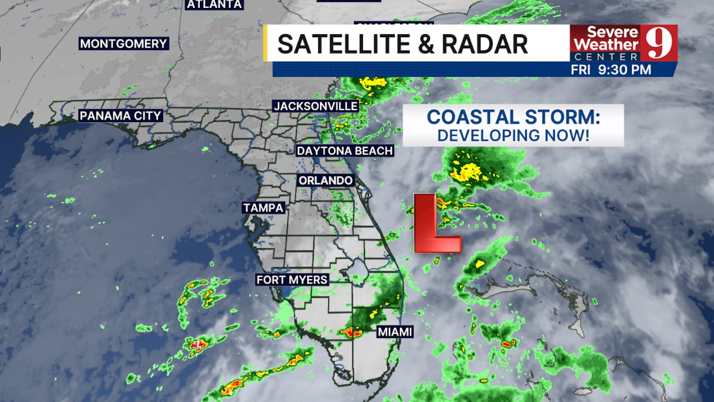
ORLANDO, Fla. — After a day of flooding rainfall and extreme “King” high tides at the coast, the heaviest rain is moving offshore around a developing coastal storm that will be a Nor’easter over the weekend, moving away from central Florida.
A Flood watch remains in effect through 8am on Saturday for Volusia and Brevard counties as a few areas of additional rain are expected through early afternoon Saturday, but amounts will be lower, between 1 to 2 inches.
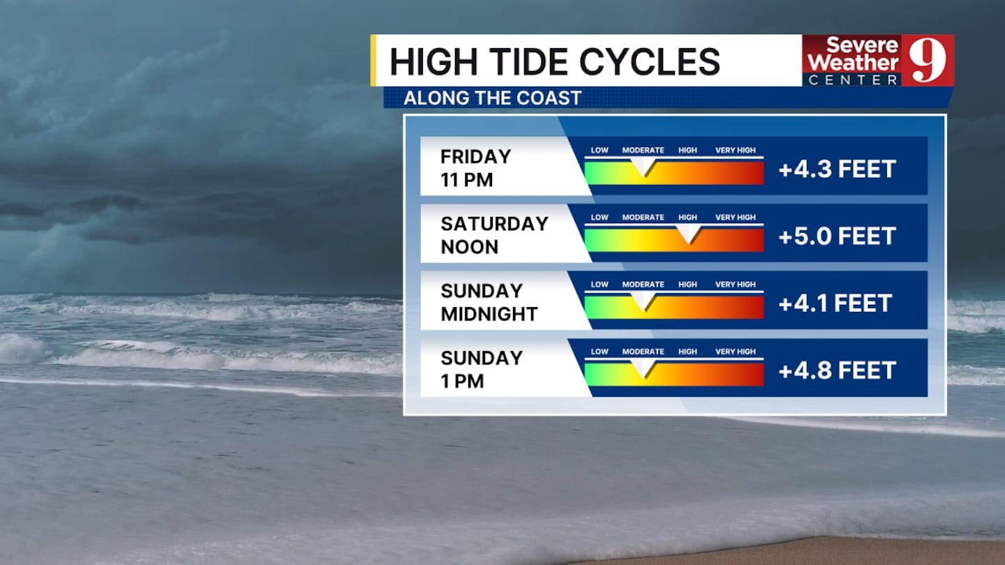
High tides around 11 p.m. Friday night, and again around Noon on Saturday and Midnight Sunday morning, will bring more rising sea levels and areas of coastal flooding. High surf and a high risk of rip currents will continue this weekend as well.
On a brighter note, dry and cooler air is moving in, and we’ll have the first 60s in the morning for the season in many parts of central Florida. This dry spell will last for next week as well, and could bring the start of the dry season typically starts around October 15th.
Click here to download our free news, weather and smart TV apps. And click here to stream Channel 9 Eyewitness News live.

©2025 Cox Media Group


 Sign Up

